


Earth Viewer

Earth Viewer açıklaması
Dünya Görüntüleyici
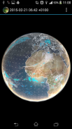
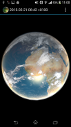
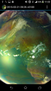
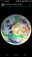
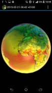
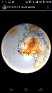
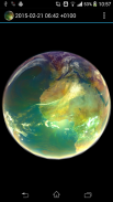
Canlı hava durumu, uydu verileri, küresel tahminler ve geçmiş veriler içeren animasyonlu Dünya gezegeni. Uygulama aynı zamanda Küresel ısınmanın izlenmesi için yararlı olan veri kümelerini de görselleştirir.
Nasıl kullanılır: Sağ üst köşedeki (ayarlar) 3 noktaya dokunun ve bir uydu görünümü seçin; ardından birkaç dakikalığına indirilecektir (internet erişimi gerekiyor, sabırlı olun) ve ardından simgesine dokunun. oynat/duraklat ve hava durumunu hareket halinde görün
Açık kaynak: https://github.com/H21lab/Earth-Viewer
İçerilen görseller:
Climate Reanalyzer hava durumu tahmini
- Dünya GFS Yağışı ve Bulutları (+7g)
- Dünya GFS Hava Sıcaklığı (+7d)
- Dünya GFS Hava Sıcaklığı Anomalisi (+7d)
- Dünya GFS Yağışlı Su (+7d)
- Dünya GFS Yüzey Rüzgar Hızı (+7d)
- Dünya GFS Jetstream Rüzgar Hızı (+7 gün)
METEOSAT 0 derece uydusu
- Airmass gerçek zamanlı görüntüleri (-24 saat, her 1 saatte bir oluşturulur)
- Airmass gerçek zamanlı görüntüleri tam çözünürlükte (-6 saat, her 1 saatte bir oluşturulur)
- IR 10,8 (-24 saat, her 1 saatte bir üretilir)
METEOSAT IODC uydusu
- IR 10,8 (-24 saat, her 3 saatte bir üretilir)
SSEC
- Kızılötesi düşük çözünürlüklü global kompozit (-1w, her 3 saatte bir oluşturulur)
- Su buharı düşük çözünürlüklü küresel kompozit (-1w, her 3 saatte bir üretilir)
NOAA
- Aurora 30 Dakika Tahmini Kuzey Yarımküre (-24h)
- Aurora 30 Dakika Tahmini Güney Yarımküre (-24h)
Uygulama özellikleri:
- Görüntüler arasında enterpolasyon
- Menüden görüntü seçimi
- Canlı Güneş ışığı
- Çarpma haritalaması
- Çevrimdışı kullanım için veri önbelleği
- Çift dokunuş animasyonu durduracak/oynatacaktır
Telif hakkı ve kredi
CCI verileri Climate Reanalyzer (http://cci-reanalyzer.org), İklim Değişikliği Enstitüsü, Maine Üniversitesi, ABD kullanılarak elde edilmiştir.
NRL VERİLERİ Amerika Birleşik Devletleri Deniz Araştırma Laboratuvarı, Deniz Meteorolojisi Bölümü (http://www.nrlmry.navy.mil) kullanılarak elde edilmiştir.
Uygulamada gösterilen tüm METEOSAT görselleri EUMETSAT telif haklarına tabidir.
Tüm NASA GOES görüntüleri için NOAA-NASA GOES Projesine atıf yapılır.
Tüm MTSAT görüntüleri için Japonya Meteoroloji Ajansı'na teşekkür ederiz.
Tüm SSEC görüntüleri Wisconsin-Madison Üniversitesi Uzay Bilimi ve Mühendislik Merkezi'nin izniyle sağlanmıştır.
Sınırlamalar
Bazı cihazlarda uygulama başlatılmıyor ve kilitlenme raporu görülüyor. Buna çoğu durumda düşük grafik kartı özellikleri veya hedef cihazın belleğinin düşük miktarı neden olur. Uygulama, OpenGL ES 2.0'ı ve çoklu dokulu kapsamlı piksel gölgelendiriciyi kullanır.
Uygulama, kullanıcı adına internetten halka açık içeriğe erişen yerel resim görüntüleyici olarak dağıtılmaktadır. Veriler dahili olarak önbelleğe alınır ve yalnızca delta indirilir. İndirilen verilerin kullanılabilirliği konusunda herhangi bir garanti verilmemektedir ve uygulama internet bağlantısı olmadan da çalışmaktadır.
Program yararlı olacağı ümidiyle, ancak HERHANGİ BİR GARANTİ OLMAKSIZIN dağıtılmaktadır.

Earth Viewer - APK Bilgisi
APK sürümü: 2.2Paket: mobile.application.forfree.earthEarth Viewer uygulamasının en son sürümü
Diğer sürümler


Aynı kategorideki uygulamalar

Hoşuna gidebilecekler...


